Recent Blog Posts
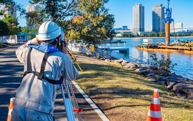
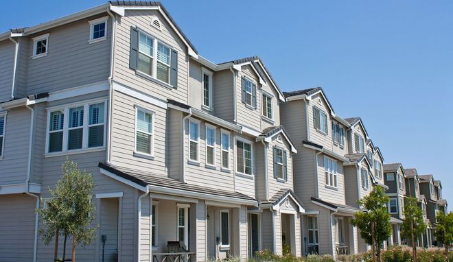
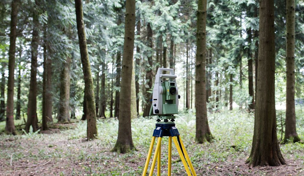
Professional Land Surveying Services
Gwinnett County, GA Area
Free Estimates
Flexible Scheduling
Quick Response Times
Request Lorem Epsom
Hero Request Form
Thank you for contacting us.
We will get back to you as soon as possible.
Please try again later.
Professional Land Surveying Services
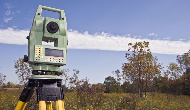
Gray & Co. Land Surveyors LLC delivers precise and reliable land surveying services across multiple counties in Georgia. With over 6 years of dedicated service since our founding in 2025, our family-owned business has established a reputation for accuracy and professionalism. What distinguishes our approach is the direct involvement of our licensed land surveyor in every project, ensuring meticulous attention to detail and consistent quality. We understand that property boundaries and accurate measurements form the foundation of your investment decisions, construction plans, and legal documentation, which is why we prioritize precision in every survey we conduct. Contact us today for your free estimate.
Text
Msgs may be autodialed. Consent to texts not required to purchase our svcs. Msg. and data rates may apply. To unsubscribe text STOP.
Why Choose Us
Flexible Scheduling
Free Estimates
Quick Response Times
High Quality Work
Locally Owned
Family Owned
ALTA Surveys
As-Built Surveys
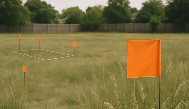
Boundary Surveys
Condominium Sites

Construction & Planning Surveys

Flood Certifications
Landscape Surveyor
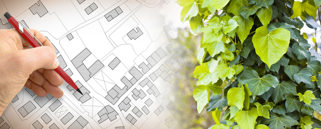
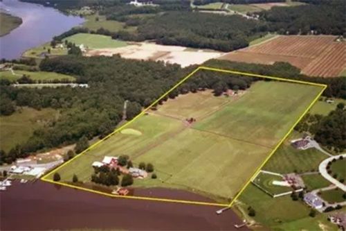
Plat Map

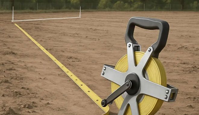
Property Line Survey
Route Surveys
Subdivision Surveys
Topographic Surveys
Tree Surveys

Here's what our satisfied clients are saying...
At Gray & Co. Land Surveyors LLC, we take pride in providing exceptional land surveying services to our clients. We would be grateful if you could share your thoughts about our surveying services with others. Your feedback helps us improve and helps others make informed decisions. Please take a moment to leave a review of Gray & Co. Land Surveyors LLC and let others know what you think.